Projects
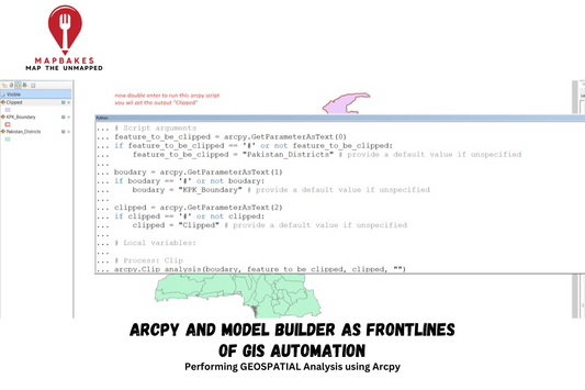
Arcpy and Model Builder as frontlines of GIS au...
Performing GEOSPATIAL Analysis using Arcpy Project Description: In my project, I leveraged ArcPy's automation capabilities to streamline a complex geospatial analysis workflow. Initially, I identified repetitive tasks within the GIS...
Arcpy and Model Builder as frontlines of GIS au...
Performing GEOSPATIAL Analysis using Arcpy Project Description: In my project, I leveraged ArcPy's automation capabilities to streamline a complex geospatial analysis workflow. Initially, I identified repetitive tasks within the GIS...
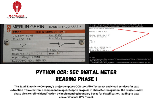
PYTHON OCR: SEC Digital meter Reading phase 1
The Saudi Electricity Company's project employs OCR tools like Tesseract and cloud services for text extraction from electronic component images. Despite progress in character recognition, the project's next phase aims...
PYTHON OCR: SEC Digital meter Reading phase 1
The Saudi Electricity Company's project employs OCR tools like Tesseract and cloud services for text extraction from electronic component images. Despite progress in character recognition, the project's next phase aims...
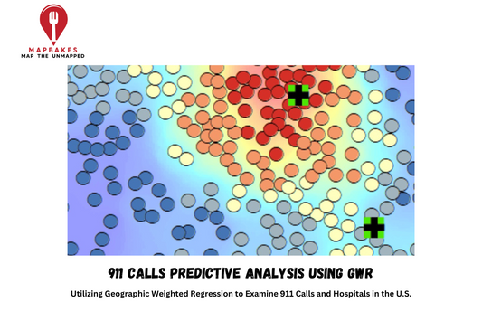
911 Calls Predictive Analysis using GWR
Utilizing Geographic Weighted Regression to Examine 911 Calls and Hospitals in the U.S. Project Description: This project was accomplished alongside other BS GIS students at Arid University: Waleed, Rana &...
911 Calls Predictive Analysis using GWR
Utilizing Geographic Weighted Regression to Examine 911 Calls and Hospitals in the U.S. Project Description: This project was accomplished alongside other BS GIS students at Arid University: Waleed, Rana &...
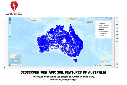
GeoServer Web App: Soil Features of Australia
Hosting and visualizing Soil classes of Australia on web using GeoServer, Postgis & Qgis The process of creating the AU Web App involved utilizing GeoServer and OpenLayers, essential tools for...
GeoServer Web App: Soil Features of Australia
Hosting and visualizing Soil classes of Australia on web using GeoServer, Postgis & Qgis The process of creating the AU Web App involved utilizing GeoServer and OpenLayers, essential tools for...
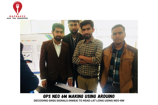
GPS NEO 6M Making using Arduino
DECODING GNSS SIGNALS (NMEA) TO READ LAT LONG USING NEO-6M The Arduino GPS project aimed to develop a GPS tracking system using the NEO-6M GPS module and Arduino Uno. This...
GPS NEO 6M Making using Arduino
DECODING GNSS SIGNALS (NMEA) TO READ LAT LONG USING NEO-6M The Arduino GPS project aimed to develop a GPS tracking system using the NEO-6M GPS module and Arduino Uno. This...
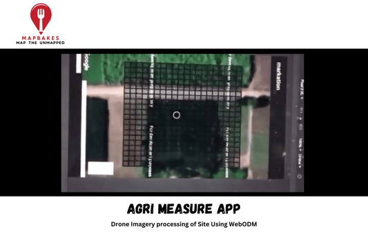
AGRI Measure App
Drone Imagery processing of Site Using WebODM The Agri Measure App was developed as part of a government project aimed at precise crop boundary measurement foragricultural survey field teams. Initially,...
AGRI Measure App
Drone Imagery processing of Site Using WebODM The Agri Measure App was developed as part of a government project aimed at precise crop boundary measurement foragricultural survey field teams. Initially,...
