Projects
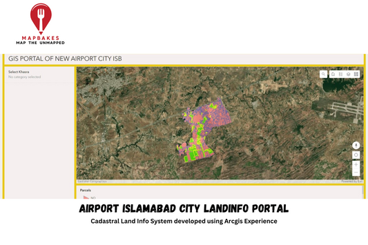
AirPort Islamabad City Land info Portal
Cadastral Land Info System developed using Arcgis Experience An innovative app leveraging ArcGIS was developed to enhance property portal functionality by integrating an ArcGIS dashboardwithin an ArcGIS Experience. The process...
AirPort Islamabad City Land info Portal
Cadastral Land Info System developed using Arcgis Experience An innovative app leveraging ArcGIS was developed to enhance property portal functionality by integrating an ArcGIS dashboardwithin an ArcGIS Experience. The process...

Core of Earth with focus on Magma & Volcano
IGEO Course Earth Science Prerequisite Presentation As a part of the INTRO TO EARTH SCIENCES GIS course, I completed this presentation.Magma is molten or semi-molten rock beneath the Earth's surface,...
Core of Earth with focus on Magma & Volcano
IGEO Course Earth Science Prerequisite Presentation As a part of the INTRO TO EARTH SCIENCES GIS course, I completed this presentation.Magma is molten or semi-molten rock beneath the Earth's surface,...
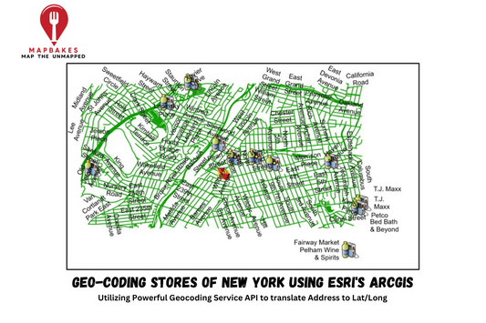
Geo-Coding Stores of New York using ESRI'S ArcGIS
Utilizing Powerful Geocoding Service API to translate Address to Lat/Long Report: Geo-coding Geo-coding, the attribution of geographic coordinates to a postal address, has been a crucial geospatial solution since the...
Geo-Coding Stores of New York using ESRI'S ArcGIS
Utilizing Powerful Geocoding Service API to translate Address to Lat/Long Report: Geo-coding Geo-coding, the attribution of geographic coordinates to a postal address, has been a crucial geospatial solution since the...
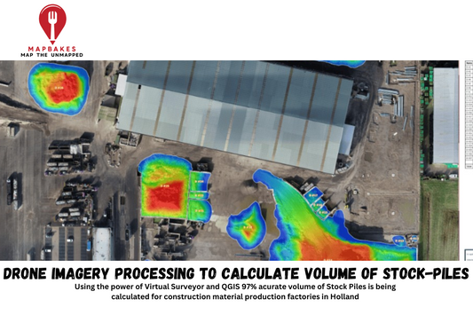
Drone Imagery Processing to calculate Volume of...
Using the power of Virtual Surveyor and QGIS 97% acurate volume of Stock Piles is being calculated for construction material production factories in Holland Project Report: Calculating Stock-Pile Volumes Using...
Drone Imagery Processing to calculate Volume of...
Using the power of Virtual Surveyor and QGIS 97% acurate volume of Stock Piles is being calculated for construction material production factories in Holland Project Report: Calculating Stock-Pile Volumes Using...
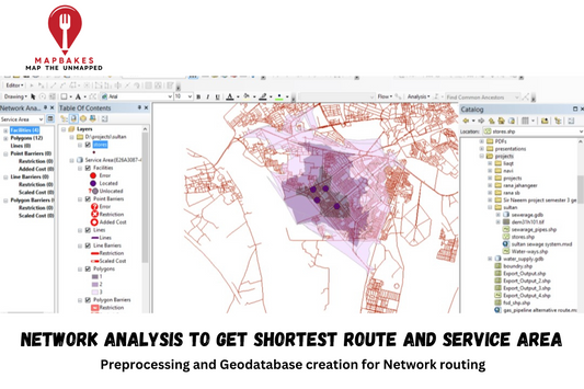
Network analysis to get shortest route and serv...
Preprocessing and Geodatabase creation for Network routing The project report for ARCGIS Network Analysis involved comprehensive data preparation and analysis focusing on Hyderabad, Sindh, Pakistan. Initially, the project focused on...
Network analysis to get shortest route and serv...
Preprocessing and Geodatabase creation for Network routing The project report for ARCGIS Network Analysis involved comprehensive data preparation and analysis focusing on Hyderabad, Sindh, Pakistan. Initially, the project focused on...
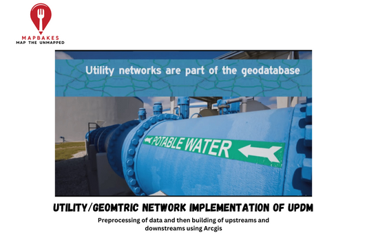
UTILITY/GEOMTRIC NETWORK IMPLEMENTATION OF UPDM
Preprocessing of data and then building of upstreams and downstreams using Arcgis A geometric network project within ArcGIS encompasses the meticulous structuring of interconnected features like roads or utility networks,...
UTILITY/GEOMTRIC NETWORK IMPLEMENTATION OF UPDM
Preprocessing of data and then building of upstreams and downstreams using Arcgis A geometric network project within ArcGIS encompasses the meticulous structuring of interconnected features like roads or utility networks,...
