CARTOBAKES®
TRUSTED BY INDUSTRY LEADERS




Experience the unmatched accuracy in data and speed in map baking
INDUSTRIES WE ARE SERVING
Secure and Private Map Data Solutions
Customer data is kept private and fully secured with end-to-end encryption. All data is permanently deleted from our system within 24 hours of delivery.
Cartobakes leveraging the latest Geosaptial Solutions like ArcGIS Pro, ArcGIS online, Maptitude, QGIS to deliver the sleekest maps of this century on time & budget.
Our Journey of GIS from freelance to enterprise, while solving real world’s problems, Motivated & Guided us to help valued researchers of Academia by providing them a platform (one-stop shop) to get hassle free desired maps.
See what our valued clients have to say about us!
GET YOUR CUSTOM MAPS NOW
Basic ⭐
24 - Hours
ORIGINAL PRICE
$99.99
- - 5 Study Area Maps
- 3 Revisions
- Data Sorting
- Normal Symbology
YOU ARE SAVING $43.00

Standard 🌙 🌙
3 - Days
ORIGINAL PRICE
$299.99
- - 20 Maps
- 5 Revisions
- Data Sorting
- Data Cleaning
- Data Processing
- Pro. Symbologies
YOU ARE SAVING $162.00

Premium 🛡️🛡️🛡️
10 - Days
ORIGINAL PRICE
$999.99
- - 100 Maps
- 8 Revisions
- Data Sorting
- Data Cleaning
- Data Processing
- Pro. Symbologies
- Geo Referencing
- Digitization
- Geotagging
YOU ARE SAVING $667.00

We have helped 3500+ Researchers
Saving 40+ Hours, and let them focus on their projects.
Explore some of our Latest Projects
Empowering devoted scientist from round the globe to keep putting Great value on this Planet.
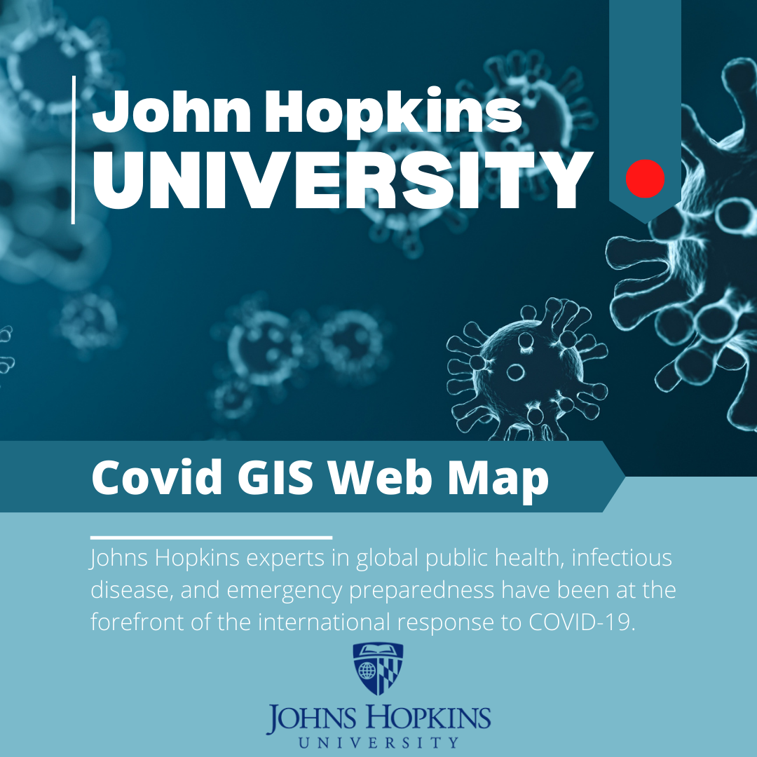
COVID APP
John Hopkins University Covid GIS APP
Developed a COVID-19 time series visualization app using ArcGIS Online, leveraging John Hopkins University data, to map and track patient statuses, contacts, and symptoms in California.

IEEE journal of selected topics in applied Earth Observation And remote sensing
Monitoring & prediction of the LULC change dynamics using time series remote sensing data with Google Earth Engine
Urbanization is a significant global problem affecting many regions facing climate change. Land use land cover (LULC), land surface temperature (LST), urban sprawl, and significant concerns. The research objective was to evaluate the effects of LULC change, pre-urban expansion, and urban growth on LST for 30 years (and 2022) in District Lahore using Landsat (TM, ETM+, and OLI/TIRS) data in Google Earth Engine (GEE)
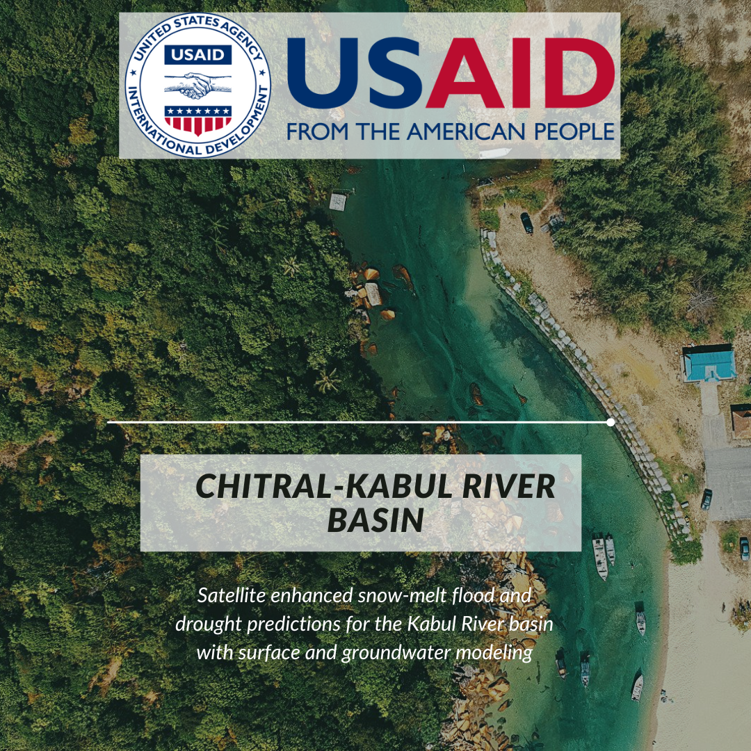
USAID from the American People
Satellite enhanced snow-melt flood & drought predictions for the Kabul River basin with surface & groundwater modeling
Under Partnerships for Enhanced Engagement in Research (PEER), cycle 5, awarded project is to develop the integrated surface and groundwater modeling for the trans-boundary Kabul River Basin (KRB) with Satellite Enhanced Snow-melt Flood and Drought Predictions. We apply the advanced NASA satellite data to track snow, snow melting, floods, surface water coverage, and droughts over the KRB.
Schedule a free Consultation with one of our top-notch cartographer
Take a first step to be more focused on your research and let us take care of technical part of mapping.
Time is the most valuable asset of a scientist!


